Parametric Landscapes
Changing Urbanism in the Age of Smart Data
Changing Urbanism in the Age of Smart Data
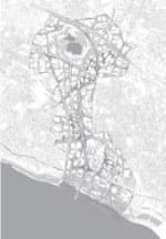
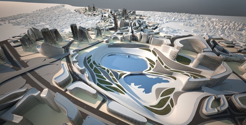
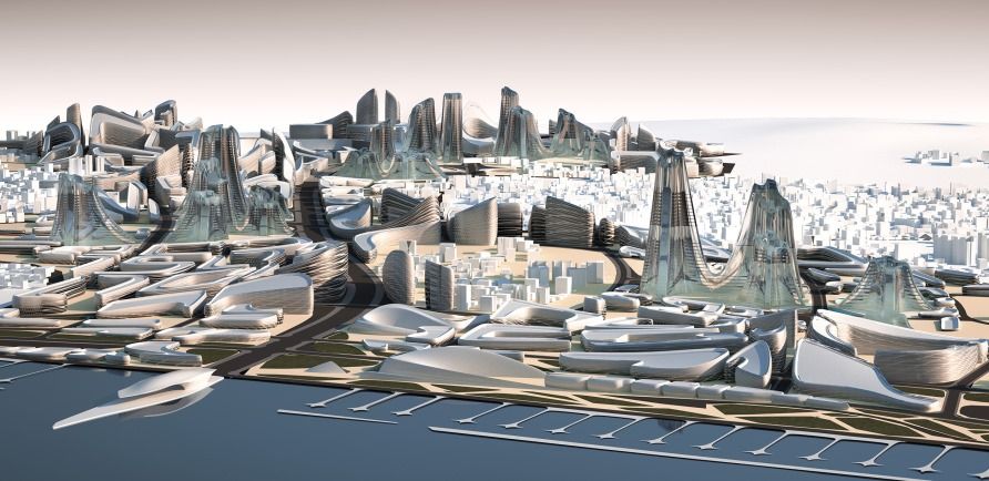
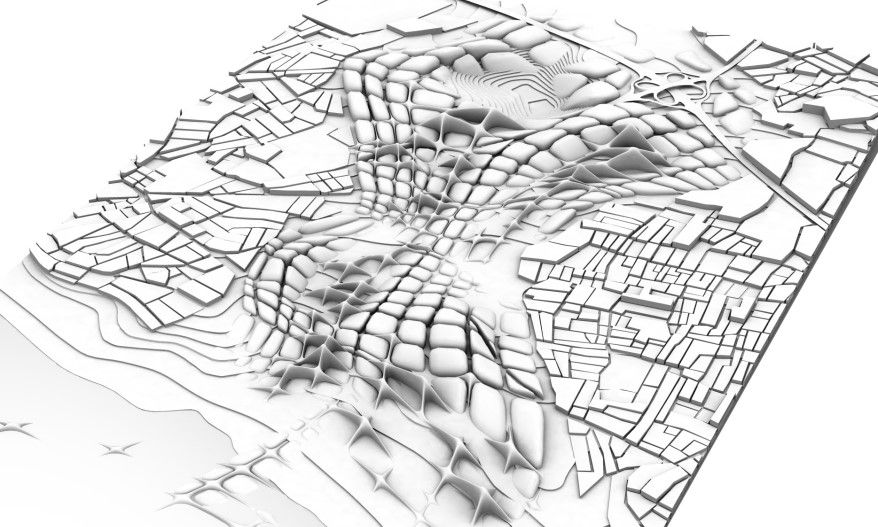
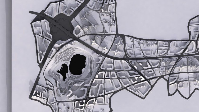
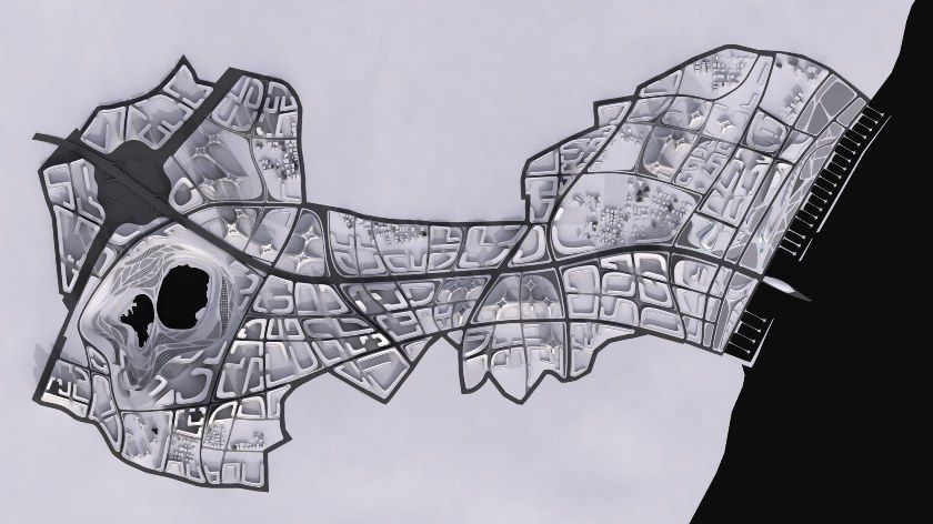
The City of Istanbul and the Kartal Association for urban regeneration launched a design competition in 2006 to generate a master plan for two of the city’s eastern districts: Kartal and Pendik. Located 25 km south east of the capital, these cover an area of 555 hectares overlooking the Sea of Marmara. The project poses several challenges: on the one hand to reconnect the parts of the region and to reconnect the city with the existing infrastructure, and on the other to create a new hub for financial, residential, commercial activities and high-end tourism.
As a strategic objective, the Administration has provided for the recovery of some abandoned areas, in particular an old quarry and a former industrial facility.
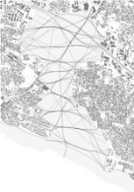
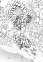
The area as a whole is densely impacted by mobility infrastructure: a highway connecting Istanbul to Europe and Asia, the coastal road, the harbor and ferry terminal, and several railway lines connecting the peripheral districts and the metropolitan area.
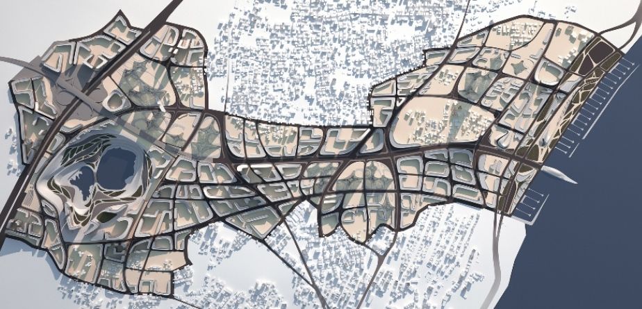
In 2007 the proposal by Zaha Hadid and Patrik Schumacher was accepted, calling for the integration of the project area with the urban multimodal plan of Istanbul, thus enhancing the existing infrastructure along the Bosphorus and the Golden Horn and reconnecting it to the city center.
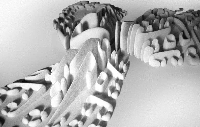
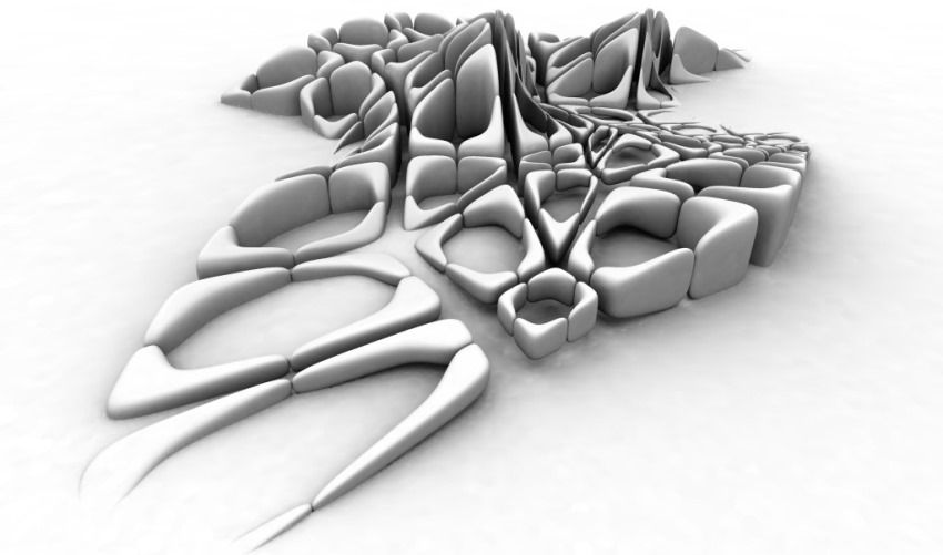
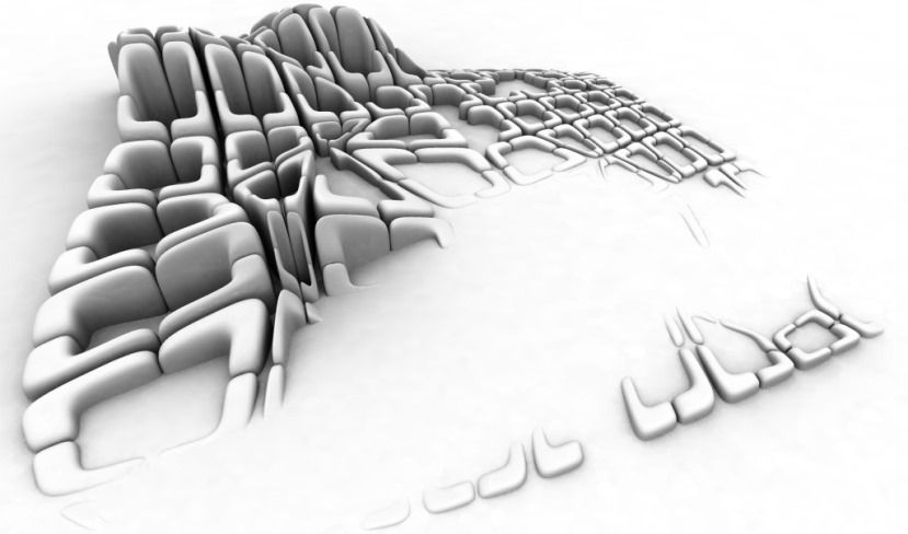
The project comprises several groups of tower-buildings which rise from the ground, like castles, while other parts are opened to form valleys serving as parks and open space, including water basins, small ports, shops and floating restaurants.
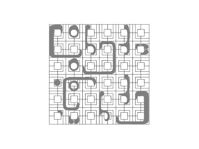
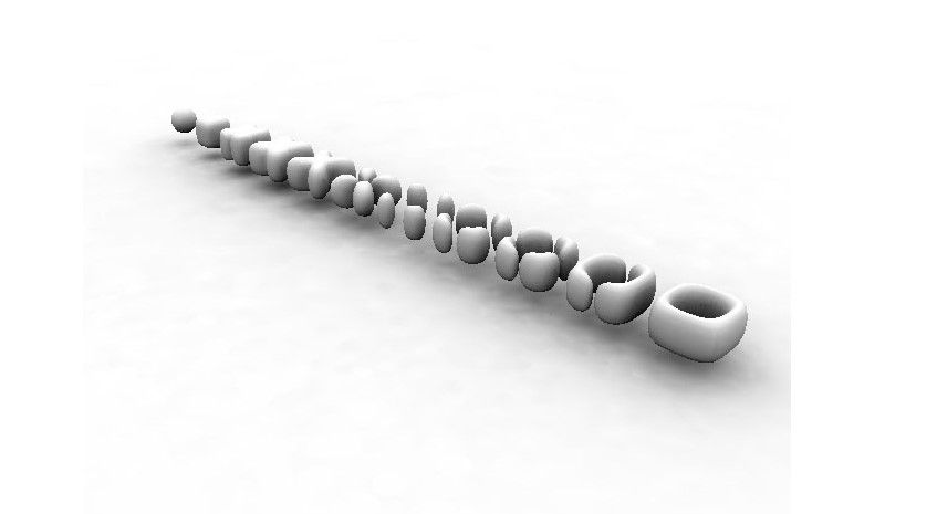
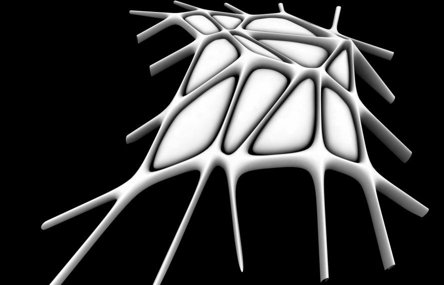
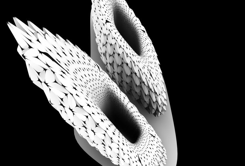
The project has been reproduced in an animated 3D video which is continuously updated through the smart data. Thus different building types can be generated in response to the differing needs of each new quarter, creating a network of interconnected spaces throughout the city, giving rise to a dynamic architecture. The result is a system able to organize itself and to adapt to changes in its context.


Captions and picture credits
See more...